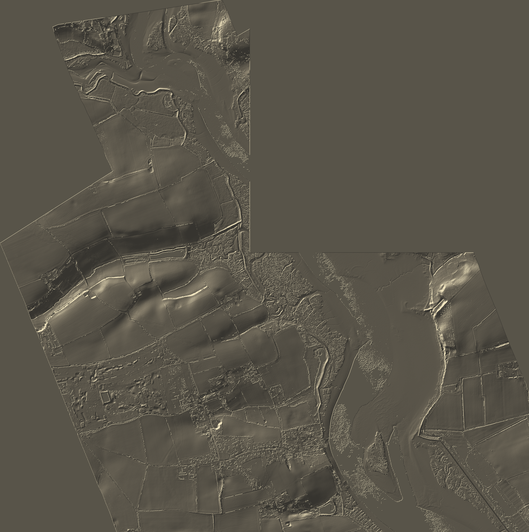
The River Deben is one of Suffolk's most distinctive estuarine landscapes, shaped by tidal movement, coastal processes, saltmarsh evolution and human settlement.
This interactive terrain model combines LiDAR-derived elevation data with Oddscape terrain processing to create an immersive three-dimensional representation of the estuary.
The model is designed for exploration through augmented reality, allowing terrain form, river structure and landscape relationships to be viewed directly within physical space using compatible devices.
Applications include landscape interpretation, education, heritage engagement, visitor experience and spatial analysis.