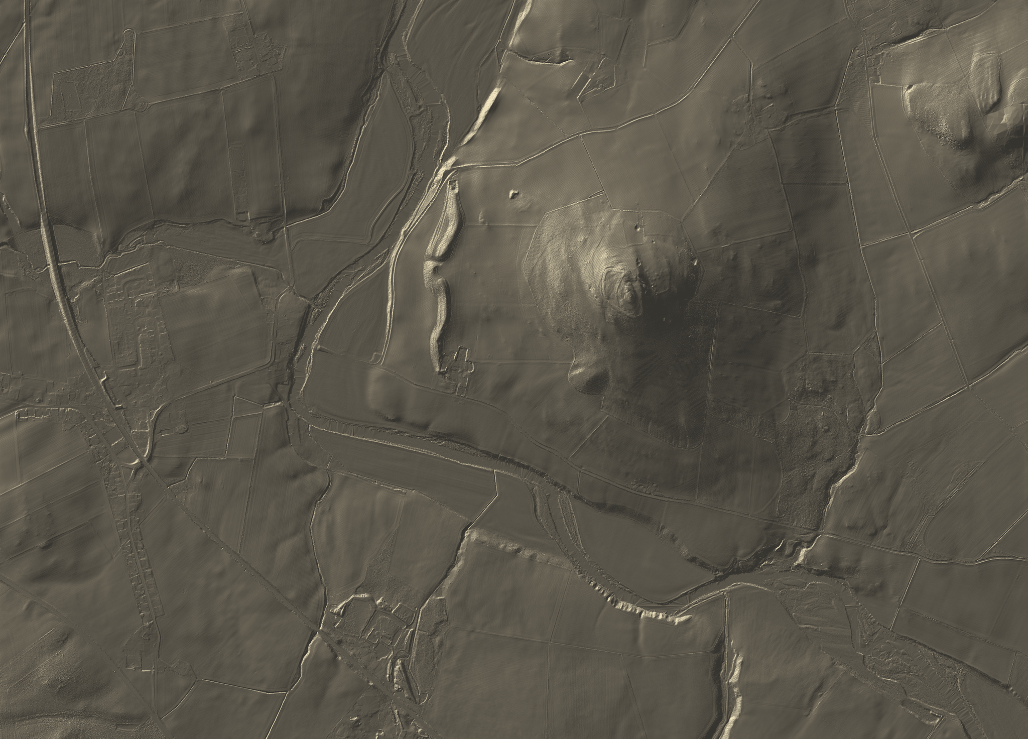
Upland landscapes contain complex relationships between slope, drainage, exposure, access, settlement and land use. LiDAR-derived terrain models allow these relationships to be seen with unusual clarity.
This NS93 study uses 1m Digital Terrain Model data to reveal subtle landform structures, field systems, drainage features and topographic transitions across the upland landscape.
The result is both analytical and visual: a terrain interpretation that can support landscape assessment, education, planning, outdoor interpretation and immersive AR viewing.